Skyline Trail

Located in Mt Rainier National Park, the Skyline trail begins at the Jackson Visitor Center in Paradise, Washington. This is a beautiful hike and not too strenuous at all.

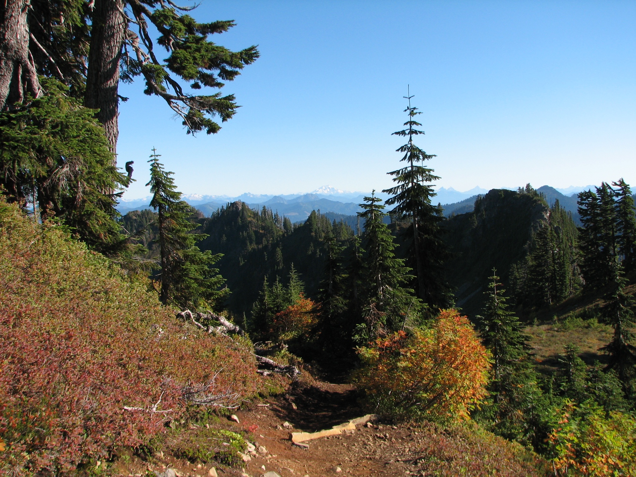
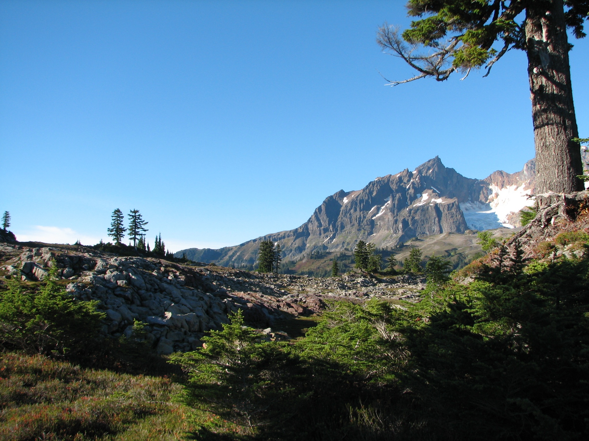
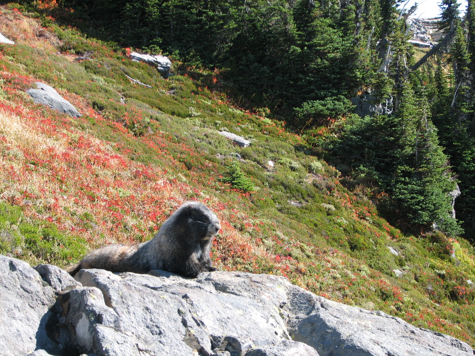
Conifers thin out and the trail rolls over the open alpine spaces. This means there is less obstruction for long distance views, except for the massive arms and peak of Rainier itself. In terms of fauna, you can find Marmots going about their business. I’ve seen deer in the area before too.

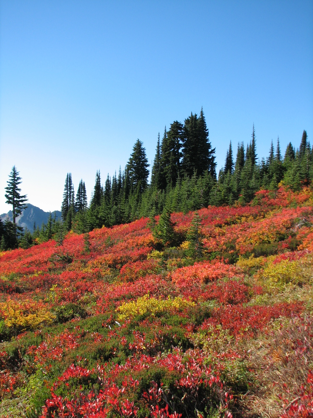
Along the way you’ll see waterfalls and the ever present Rainier. In October the bushes and ground cover turn bright and rusty colors that contrast nicely with the darker evergreens. Of course, Mount Rainier always has a white crown no matter what time of year you go.

Trail in Mount Rainier National Park in Autumn

The hike starts at the visitor center and loops for about 5 miles with wide open views most of the way. There is plenty of parking at the visitor center as well as lodging and camping options throughout the park. Here’s a trail map, if you’re curious.


Park Butte Lookout

View of Mount Baker from Park Butte

In the northwestern corner of the continental United States and the Mt Baker-Snoqualmie National Forest, this hike ends at an old fire lookout and with close-up views of Baker.

Conifers over the northern Cascades

While a quality afternoon workout, the hike is not particularly strenuous – especially when you consider what you receive. Once on the higher ridges there is plenty to see in the distance, as well as right in front of your face.

Once you’ve reached a higher elevation and are walking along the spine of these mountains for a bit, you’ll see the wooden fire lookout seemingly perched precariously atop a precipice. Fortunately for me, it was a beautiful sunny day in October and no fires were seen.

The Park Butte trail will take you up to the lookout and back in about 7 miles. While you can be up and down in a morning, you could easily be motivated to extend the day while strolling around paths and taking a picnic on top. If you’re interested, check out a trail map.