Twin Sisters Peak

August hike in the Colorado Rockies

A great out and back up Twin Sisters Peak, this hike is located in Estes Park, Colorado near Rocky Mountain National Park. You’ll get incredible views of the area and a double peak at the end.

View from Twin Sisters Peak

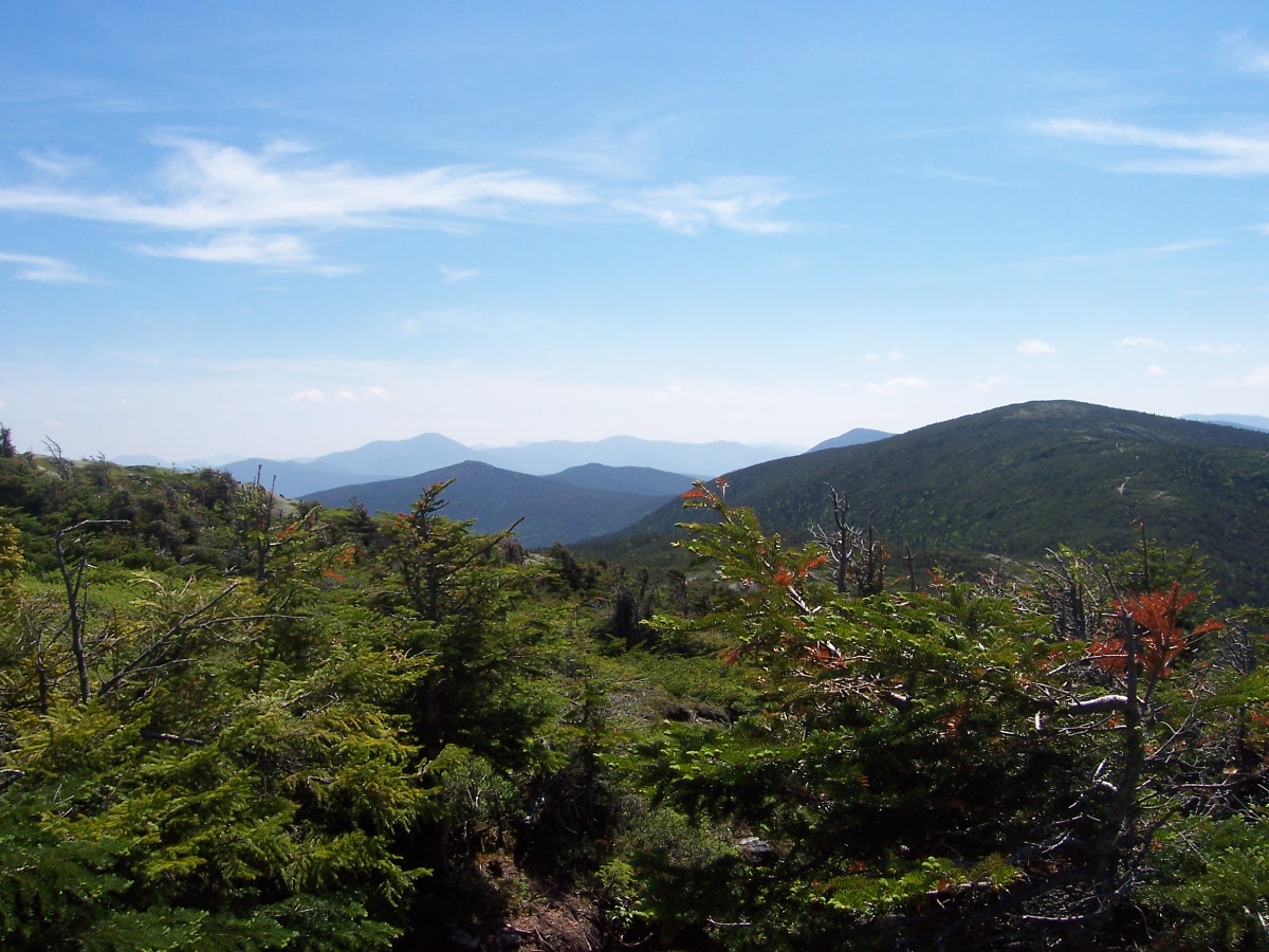
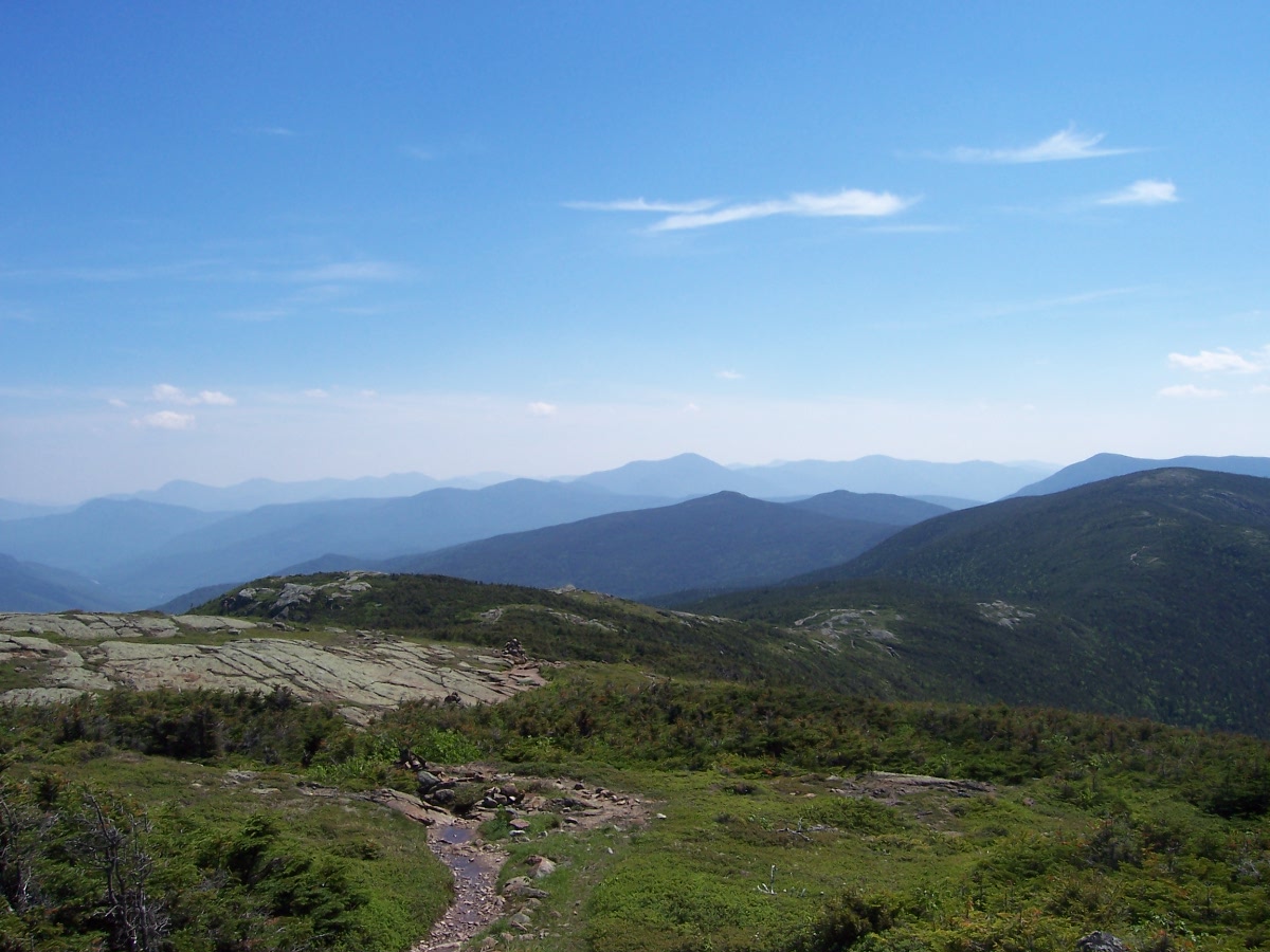
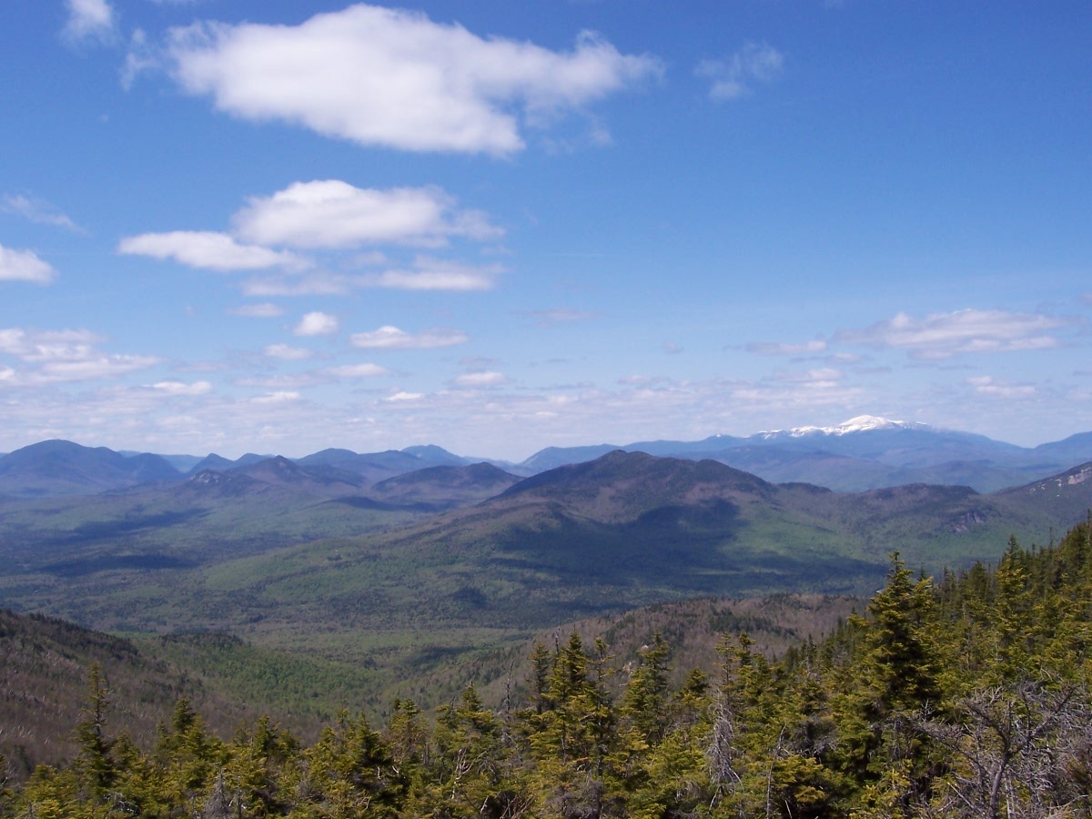
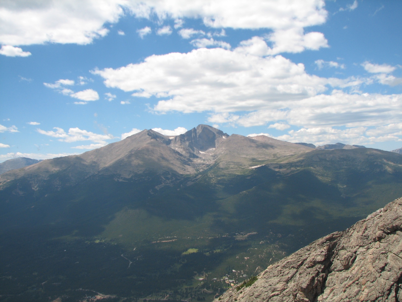
The Twin Sisters Trail starts out across Route 7 from Lily Lake. It takes you into the evergreens, through a few switchbacks, and eventually opens up to panoramic views of the area and an outstanding look at Longs Peak.

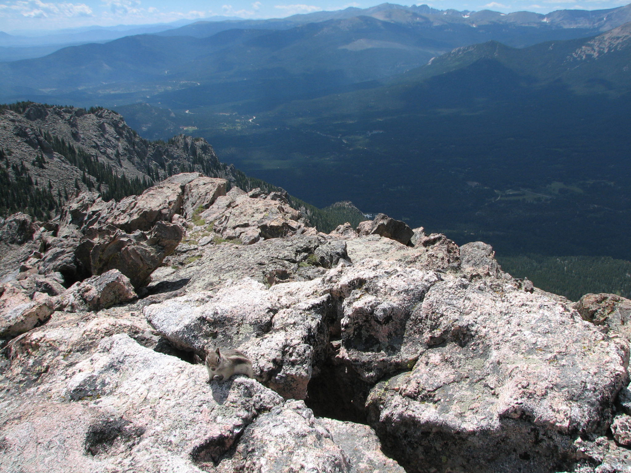
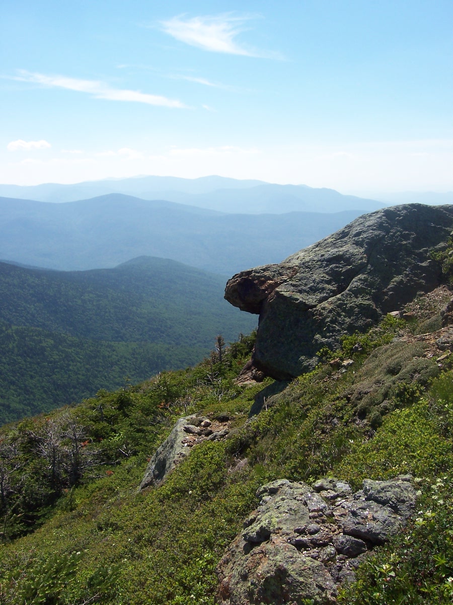
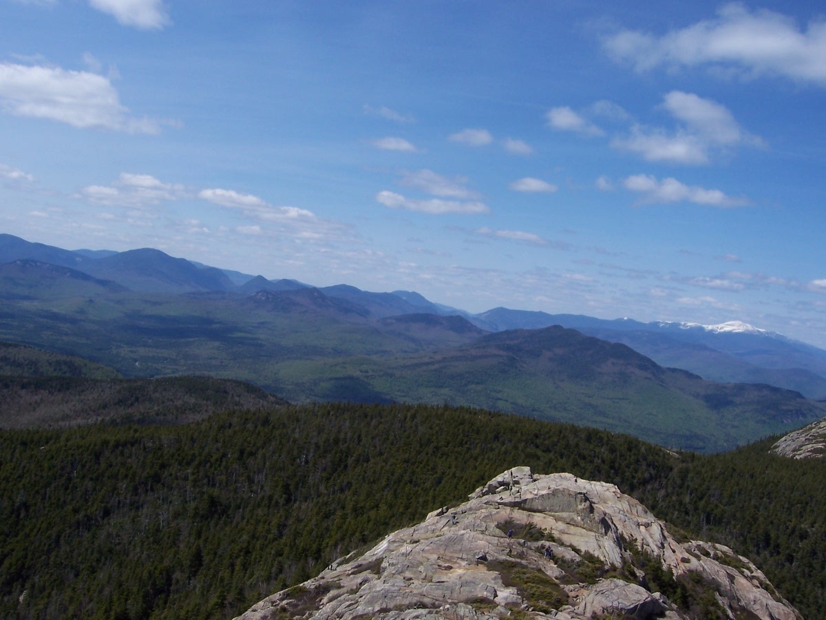
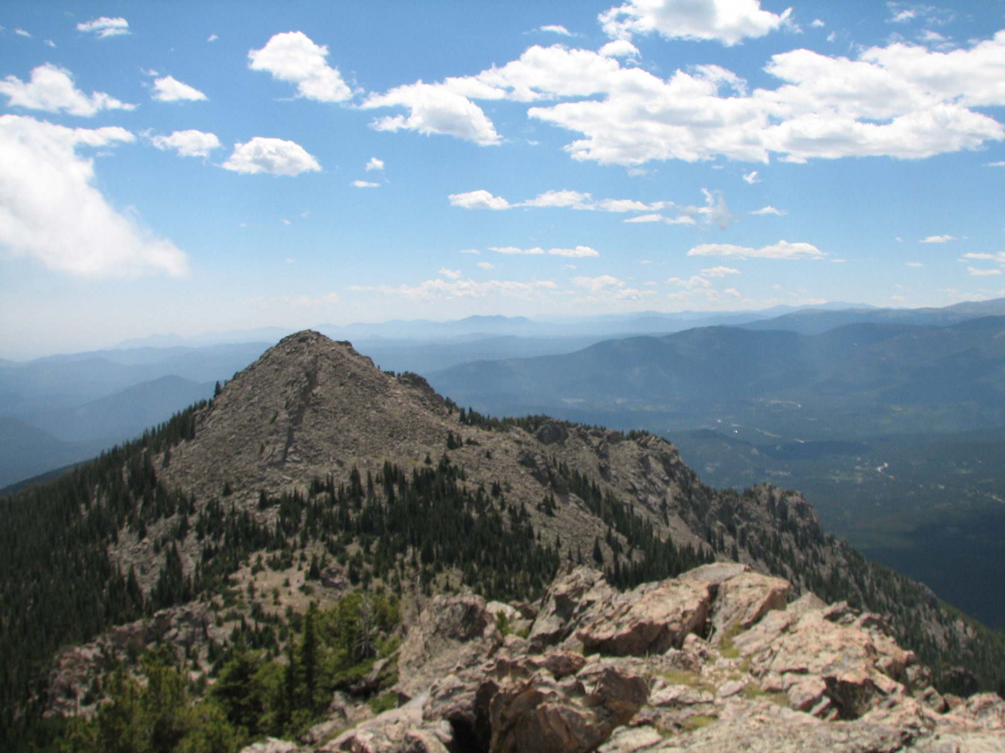
The view from the mountaintop is gorgeous. The Twin Sisters name really does refer to a double peak each separated by a little valley of gravel and scree from the other on the top. I’m guessing some people feed the wildlife up there, because I met an overly inquisitive chipmunk that came out of the rock. Keep your backpack zipped, if you don’t want to transport a new travelling companion.

View of Longs Peak from Twin Sisters in Colorado

At around 7 miles, Twin Sisters is a fantastic choice, if you just want to go for a morning or afternoon hike. Just north of Boulder, Colorado, the trail is easily accessible and there is enough parking near the trailhead. View a map of the trail.


Mount Eisenhower & Mount Pierce

Hike up Mt Pierce and Eisenhower

In the Presidential Range of the White Mountains of New Hampshire lies the largest peaks in the Northeastern United States. This hike is a trek up to Mount Eisenhower and Mount Pierce.

Presidential Range in White Mountains

Early on in the hike you’ll find stream crossings and little waterfalls not far from the trail. Take Edmands Path all the way up to the ridge. Once there, you can take the short Mt Eisenhower Loop Trail to the summit.

Hiking the Presidential Range in the White Mountains of New Hampshire

This is a hike that eventually gets you above alpine in New Hampshire, so be prepared for the weather. Depending on the time of year it can get windy, wet, and cold really fast. While the Presidentials are gorgeous covered in snow in the winter, I went in June on a beautiful day. From the peak of Eisenhower you can take the Crawford Path to the summit of Mount Pierce. Once you’ve enjoyed your stay atop these mountains, you can come back the way you came. Another option is to continue down the Crawford Path, almost to the base, take a connector trail to Mount Clinton Road and go back to your vehicle from there.

Hike in the Presidential Range

Back at the base of the mountain, heading back to the car I encountered a moose, fox, and brown bear. So, keep your eyes peeled! The bear saw me and headed my way. It came within a few yards, but I held my ground and was not antagonistic, so it ended up veering around me and continuing along its way. With or without the large fauna, it’s a great hike. You can take Edmands Path, along the Mt Clinton Road. The hike isn’t that far off Route 302 in Northern New Hampshire, but in the winter look into possible road closures.


Mount Chocorua

Looking north towards Mount Washington on the peak of Mount Chocorua in the White Mountains of New Hampshire

Found in the White Mountains of New Hampshire, just north of the state’s central lakes region, this hike takes you past waterfalls on your way to a granite peak.

Climb through the broad leaf and evergreen forest of the White Mountains toward the summit of Mount Chocorua. Before you’re half way up, a spur trail to the left will take you to the waterfalls and eventually brings you back to the main trail.

Eventually you leave the forest behind and you can see for miles and miles. Take in 360 degree views of the area, including a gorgeous look at Mount Washington to the north. Plenty of space is to be had over the rocks on the mountaintop.

You can get to the trail head via the Kancamagus Highway. At about 7 miles out and back, the Champney Falls Trail takes you past two waterfalls, via a short spur trail, before continuing on the ascent to the peak. Additionally, there is a route up the mountain via the Piper Trail off of Route 16. This trail map shows the many options up Mount Chocorua.