Mary’s Rock via the Buck Hollow and Meadow Spring Trails

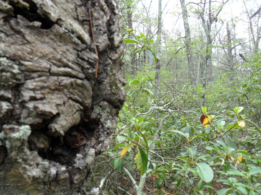
Looking up a trunk in to the canopy of Shenandoah

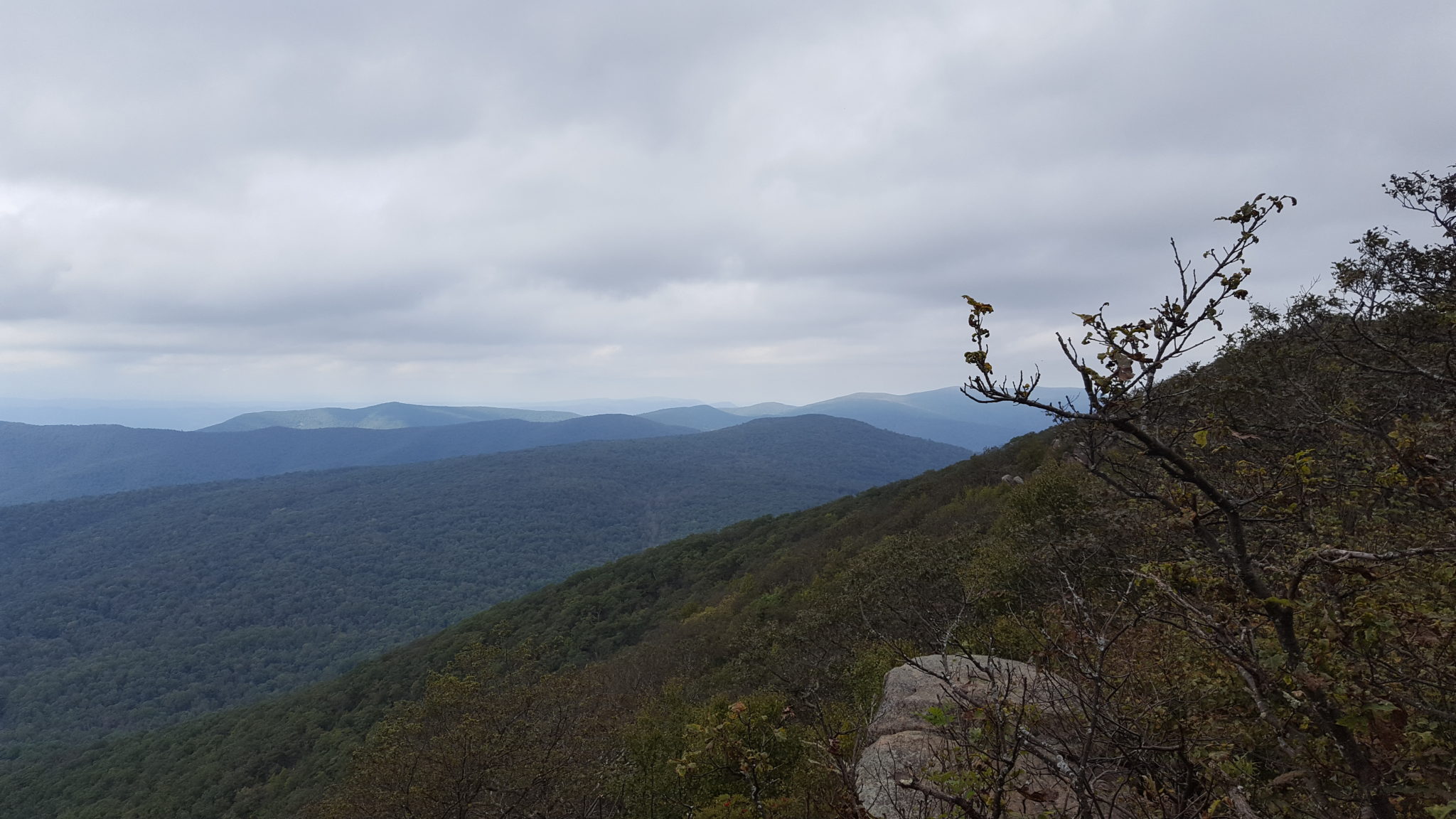
In the Blue Ridge Mountains of Northern Virginia, this hike takes you from the eastern side of the mountains to a view west. Much of it will give you a workout within the lush Virginian forest, but clear views are to be had at Mary’s Rock.

The Appalachians Mountains of the Eastern United States

As an out and back, this hike is about 8 miles. Take the Buck Hollow Trail up through the Virginian woods along a stream. Eventually you’ll come to a parking lot along Skyline Drive. Take a left along Skyline Drive for a moment, then cross the road to take the Meadow Spring Trail. Once you hit the Appalachian Trail, take a right and before you know it, you’ll be at Mary’s Rock.

Birds fly over the mountains of Virginia

Whether you climb to the top of the rock to gain a higher vantage point or not, the views from Mary’s Rock are beautiful. You can take your time here, if you’d like, and soak it all in. It would be a good time to hydrate, eat a bit and rest up for the journey back the way you came.

Birds fly around Mary's Rock

The hike begins off of Route 211, east of the Thorton Gap Entrance to Shenandoah National Park. There is a small area for cars to park immediately off the road.



Annapolis Rock

Annapolis Rock

Located in Western Maryland, Annapolis Rock is a popular hiking destination. Easily accessible via Route 40, park by the side of the road and head up the trail.

Annapolis Rock

I hiked this trail in late October on a cloudy day. Fortunately, it was not a complete white-out and I wasn’t entirely enveloped in cloud by the Rock.

Annapolis Rock is no 14,000 footer and you can hike up to it with relative ease. If you’re itching for more, continue on to Black Rock Cliff, take a little rest and come on back the way you came.

Annapolis Rock

Within the boundaries of South Mountain State Park, to the north and east of Interstate 70, Annapolis Rock is a nice destination to choose for a little fresh air and exercise.


Mary’s Rock via the Jewell Hollow Overlook

Shenandoah National Park

In Virginia’s Shenandoah National Park, this walk through the woods starts with a beautiful view of the Appalachians via an overlook and ends with 180 degree views looking west from Mary’s Rock.

Hike to Mary's Rock

Starting at the Jewell Hollow Overlook, the trail is at the end of the back parking lot further away from the road. You’ll see the trail, but quickly there is a decision to make: go left or straight? The question is basically, go north or south on the Appalachian Trail. For our purposes choose straight, which is north. Left is a wonderful option too, but you won’t get to Mary’s Rock that way. The trail will soon curve around in front of, but below, Jewell Hollow Overlook.

Early fall in Shenandoah National Park

Continue north through the trees for a few miles until you get to Mary’s Rock. Enjoy the views, refuel a bit, and when you’re ready, come on back the way you came.

The Appalachian Mountains in late September

This hike begins at the Jewell Hollow Overlook along Skyline Drive just south of the Thornton Gap entrance to Shenandoah National Park. However, there are numerous starting points along the Appalachian Trail that will still take you to Mary’s Rock. This is one of them. Take a look at a trail map around Mary’s Rock and this much more expansive map.


Old Furnace State Park

Moss in Old Furnace State Park

In Eastern Connecticut, not far from the Rhode Island border, sits Old Furnace State Park. You can follow paths through the woods circumnavigating a picturesque pond.

Old Furnace State Park

The trail begins from the parking lot and dips down to a serene brook crossing. There are multiple little stream crossings, but no need to get wet due to natural rock bridges and planks to step across.

Pond in Old Furnace State Park

There is a rise in elevation on one side of the pond. The trail eventually brings you to an open cliff with more expansive views of the area.

Old Furnace State Park

The State Park is not far off of Interstate 395 in Killingly, Connecticut. Plenty of parking is available near the trailhead.


Mount Martha and Owl’s Head

View of the Presidentials from Mt Martha

To get a beautiful view of the north face of Mount Washington, climb up Mount Martha and look south. In Northern New Hampshire in the town of Carroll the trail begins.

It’s a nice hike to do in the winter. If winter snow slows you down, you can still easily do it in a day with time to spare. Plus, it is special to see a snow covered Mount Washington.

Hike up Mt Martha

You have the option to extend the trip by going the extra mile down Owl’s Head Trail to Owl’s Head. Either way this hike is worth the experience.

Up Mt Martha in Norther New Hampshire

Ample parking can be found along Rte 115 just north of where Routes 3 and 302 intersect. The hike is about a half dozen miles up and back. Take the Cherry Mountain Trail on up. Enjoy!