Monument Mountain

April in the Berkshires

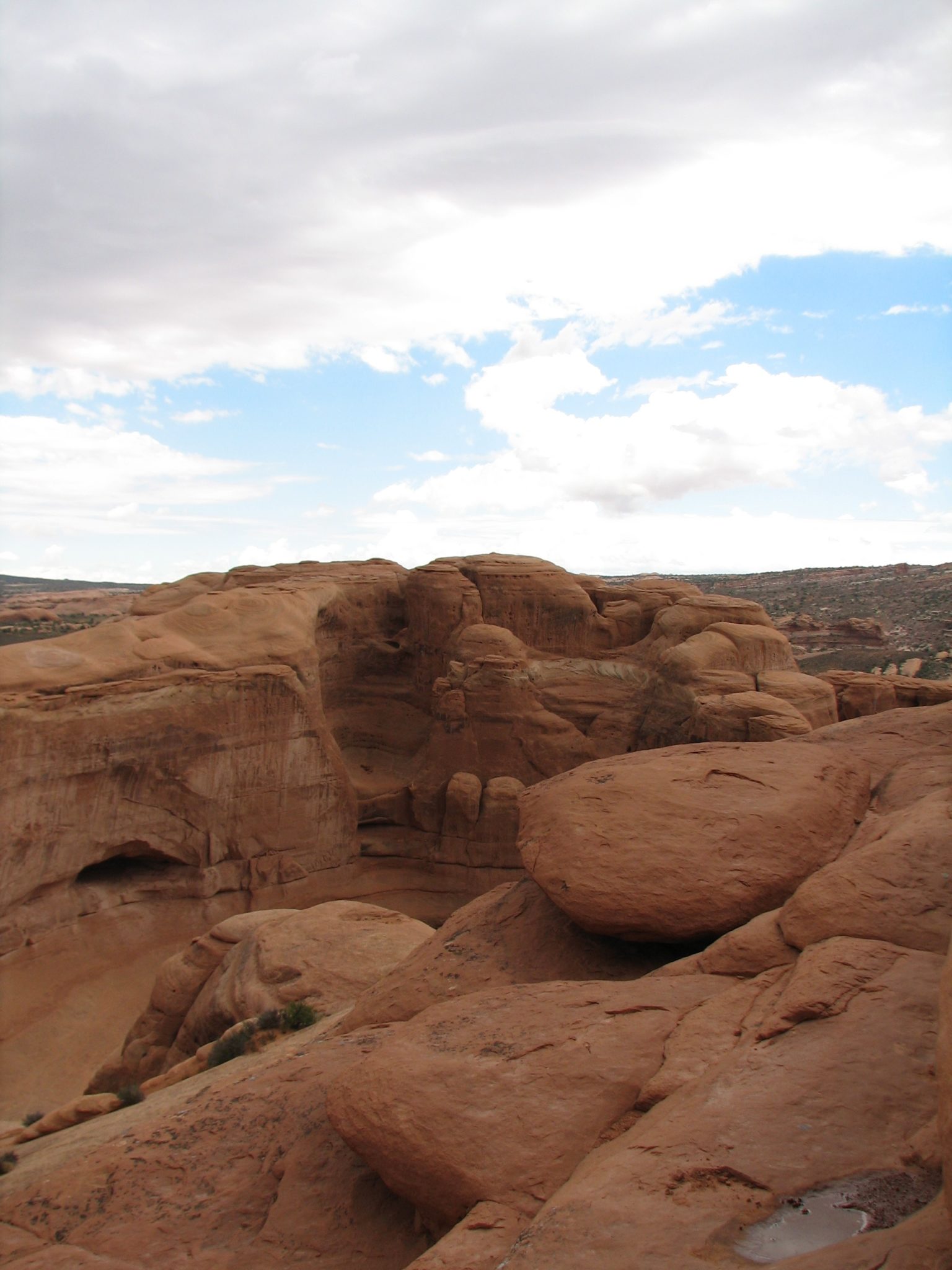
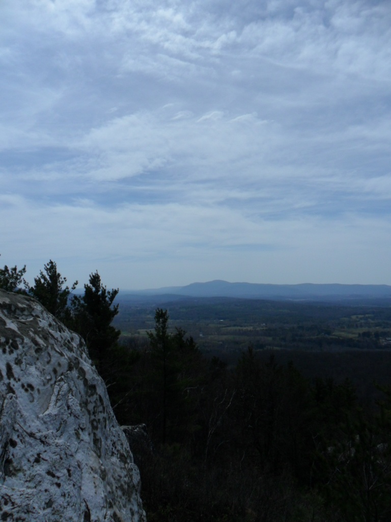
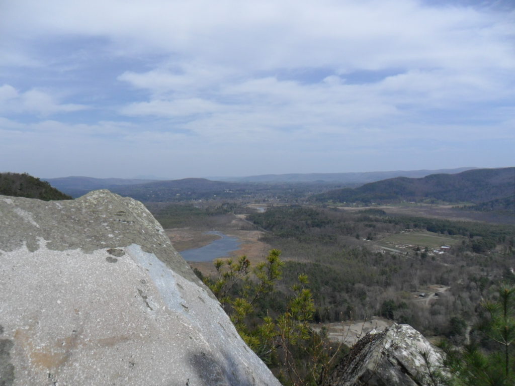
In the farthest reaches of Western Massachusetts, Monument Mountain is a nice hike with many views from the trail along its ridge.

Devils Pulpit

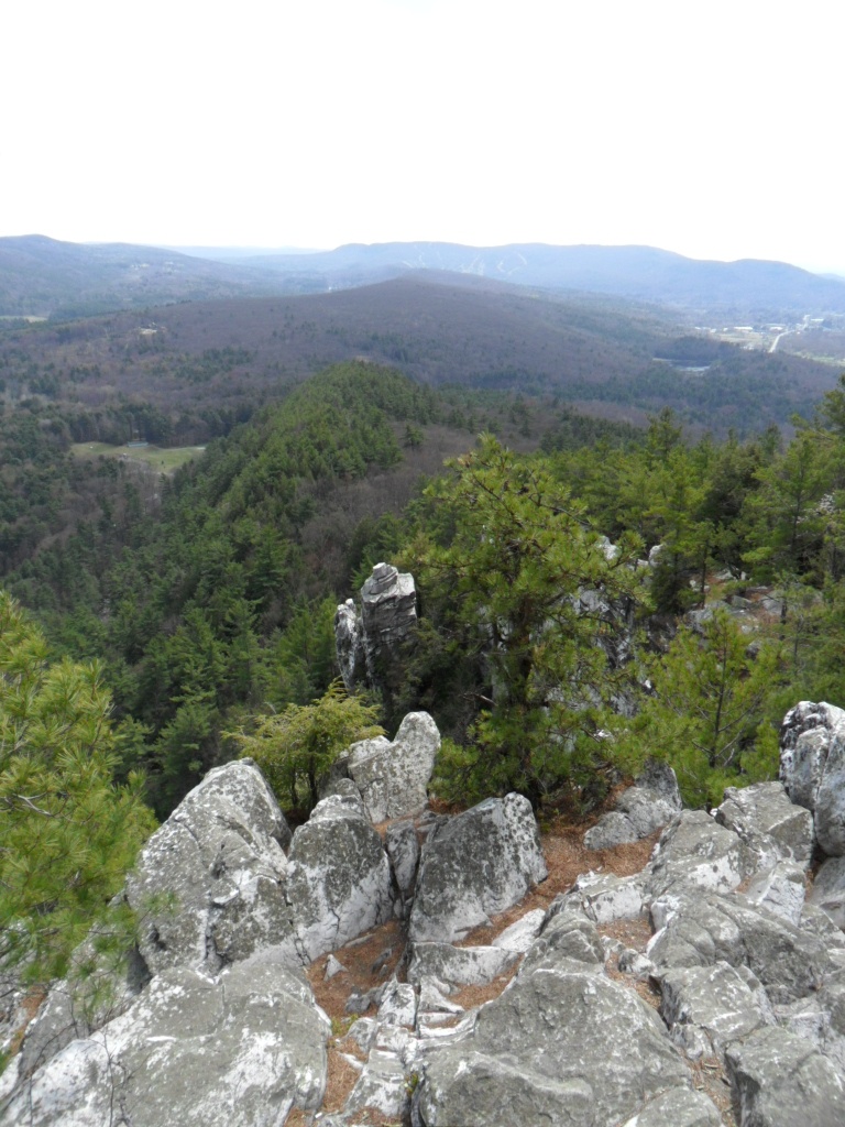
The trail is wooded throughout with multiple lookout points along the spine of the mountain. If you venture into some of these nooks and crannies along the top, you just might find a birds eye view of Devils Pulpit and the surrounding area.

Water falling over rocks in Southwestern Massachusetts

There are a couple ways up and around this mountain. You can do a loop or two or you could come back down the way you came. The trails are pretty throughout even in April before the green of the broadleaves have fully sprouted for the year.

View from Monument Mountain

South of Interstate 90, parking is available at the trailhead. The hike won’t take all day and is great, if you want to get out of the interior for a bit and into the great outdoors. View a trail map.


Skyline Trail

Located in Mt Rainier National Park, the Skyline trail begins at the Jackson Visitor Center in Paradise, Washington. This is a beautiful hike and not too strenuous at all.

Conifers thin out and the trail rolls over the open alpine spaces. This means there is less obstruction for long distance views, except for the massive arms and peak of Rainier itself. In terms of fauna, you can find Marmots going about their business. I’ve seen deer in the area before too.

Along the way you’ll see waterfalls and the ever present Rainier. In October the bushes and ground cover turn bright and rusty colors that contrast nicely with the darker evergreens. Of course, Mount Rainier always has a white crown no matter what time of year you go.

Trail in Mount Rainier National Park in Autumn

The hike starts at the visitor center and loops for about 5 miles with wide open views most of the way. There is plenty of parking at the visitor center as well as lodging and camping options throughout the park. Here’s a trail map, if you’re curious.


Park Butte Lookout

View of Mount Baker from Park Butte

In the northwestern corner of the continental United States and the Mt Baker-Snoqualmie National Forest, this hike ends at an old fire lookout and with close-up views of Baker.

Conifers over the northern Cascades

While a quality afternoon workout, the hike is not particularly strenuous – especially when you consider what you receive. Once on the higher ridges there is plenty to see in the distance, as well as right in front of your face.

Once you’ve reached a higher elevation and are walking along the spine of these mountains for a bit, you’ll see the wooden fire lookout seemingly perched precariously atop a precipice. Fortunately for me, it was a beautiful sunny day in October and no fires were seen.

The Park Butte trail will take you up to the lookout and back in about 7 miles. While you can be up and down in a morning, you could easily be motivated to extend the day while strolling around paths and taking a picnic on top. If you’re interested, check out a trail map.


Castle Dome

Located in sunny California’s Castle Crags State Park, this hike climbs its way up to rocky spires and a view of Mt Shasta.

In the mountains of Northern California during a hike

The hike can be done in an afternoon, but there are plenty of reasons to linger. I saw some folks hiking up with rock climbing gear and a woman peacefully reading along a steep section of the trail.

Conditions were hot and dry. At a certain point the trail winds up a steep slope and the trees start to thin out. While there is plenty of fine scenery all around, the granite spires at the top are truly stunning. By the end of the trail you are really close to these giant shards of rock jutting up and out of the ground.

At about 6 miles out and back, the Crags Trail begins within the confines of Castle Crags State Park, conveniently located off interstate 5. You can access the trail at the end of Vista Point Road. Become more informed and take a look at a trail map.


Delicate Arch

Arches National Park

Found in Utah’s Arches National Park, this is a beautiful hike that will take you straight out to the iconic Delicate Arch.

Taking photographs in Arches National Park

Just driving or, if you choose, biking out to the trailhead is pretty magical. With a dearth of trees, being in the wide open west, there is little obstruction to view all these natural sculptures throughout the park. However, it is so much better to get out and walk through this landscape on your own.

Utah rock formations

Once I had spent some time out by delicate arch, the dark clouds of a storm were seen propelling toward us from a distance. There is not much in the way of tree cover on this trail. So, as the storm hit, I turned into a trail runner and booked it back to the trailhead and parking lot.

Delicate Arch

Just north of Moab, Utah, Arches National Park is really unbelievable. Many of Southern Utah’s National Parks are special and this one is no exception. You can start the hike off at the Wolfe Ranch parking lot and you won’t be disappointed. View a trail map.