Castle Dome

Located in sunny California’s Castle Crags State Park, this hike climbs its way up to rocky spires and a view of Mt Shasta.

In the mountains of Northern California during a hike

The hike can be done in an afternoon, but there are plenty of reasons to linger. I saw some folks hiking up with rock climbing gear and a woman peacefully reading along a steep section of the trail.

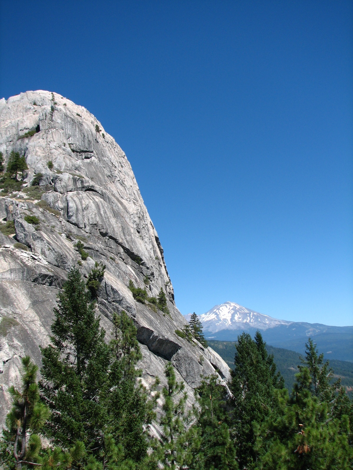
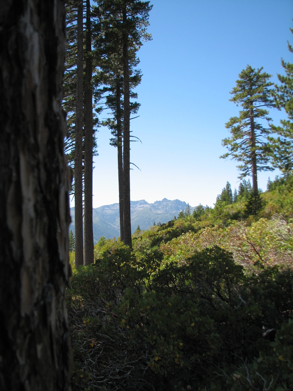
Conditions were hot and dry. At a certain point the trail winds up a steep slope and the trees start to thin out. While there is plenty of fine scenery all around, the granite spires at the top are truly stunning. By the end of the trail you are really close to these giant shards of rock jutting up and out of the ground.

At about 6 miles out and back, the Crags Trail begins within the confines of Castle Crags State Park, conveniently located off interstate 5. You can access the trail at the end of Vista Point Road. Become more informed and take a look at a trail map.


Delicate Arch

Arches National Park

Found in Utah’s Arches National Park, this is a beautiful hike that will take you straight out to the iconic Delicate Arch.

Taking photographs in Arches National Park

Just driving or, if you choose, biking out to the trailhead is pretty magical. With a dearth of trees, being in the wide open west, there is little obstruction to view all these natural sculptures throughout the park. However, it is so much better to get out and walk through this landscape on your own.

Utah rock formations

Once I had spent some time out by delicate arch, the dark clouds of a storm were seen propelling toward us from a distance. There is not much in the way of tree cover on this trail. So, as the storm hit, I turned into a trail runner and booked it back to the trailhead and parking lot.

Delicate Arch

Just north of Moab, Utah, Arches National Park is really unbelievable. Many of Southern Utah’s National Parks are special and this one is no exception. You can start the hike off at the Wolfe Ranch parking lot and you won’t be disappointed. View a trail map.


Twin Sisters Peak

August hike in the Colorado Rockies

A great out and back up Twin Sisters Peak, this hike is located in Estes Park, Colorado near Rocky Mountain National Park. You’ll get incredible views of the area and a double peak at the end.

View from Twin Sisters Peak

The Twin Sisters Trail starts out across Route 7 from Lily Lake. It takes you into the evergreens, through a few switchbacks, and eventually opens up to panoramic views of the area and an outstanding look at Longs Peak.

The view from the mountaintop is gorgeous. The Twin Sisters name really does refer to a double peak each separated by a little valley of gravel and scree from the other on the top. I’m guessing some people feed the wildlife up there, because I met an overly inquisitive chipmunk that came out of the rock. Keep your backpack zipped, if you don’t want to transport a new travelling companion.

View of Longs Peak from Twin Sisters in Colorado

At around 7 miles, Twin Sisters is a fantastic choice, if you just want to go for a morning or afternoon hike. Just north of Boulder, Colorado, the trail is easily accessible and there is enough parking near the trailhead. View a map of the trail.